From NORTH on Hwy #22 (Cowboy Trail)
22 km from Hwy #27, turn right (West) at Township Road 304 (signs for “Burnt Timber Road”).
From SOUTH on Hwy #22 (Cowboy Trail)
5 km past Cremona, turn left (West) at Township Road 304 (signs for “Burnt Timber Road”).
Directions from Burnt Timber Road
The Burnt Timber Road is paved for the first 27 km. Follow it until you reach the old Gas Plant site.
Shortly before the turn, you will see a large Ghost Public Land Use Zone sign.
Look for a sign with our information on your right on the gravel road.
Entering the Forestry Reserve
Turn right on the gravel road that goes around the plant, entering the forestry reserve.
Stay on this road for 22 km (do not take any off-shoot roads).
Landmarks Along the Way
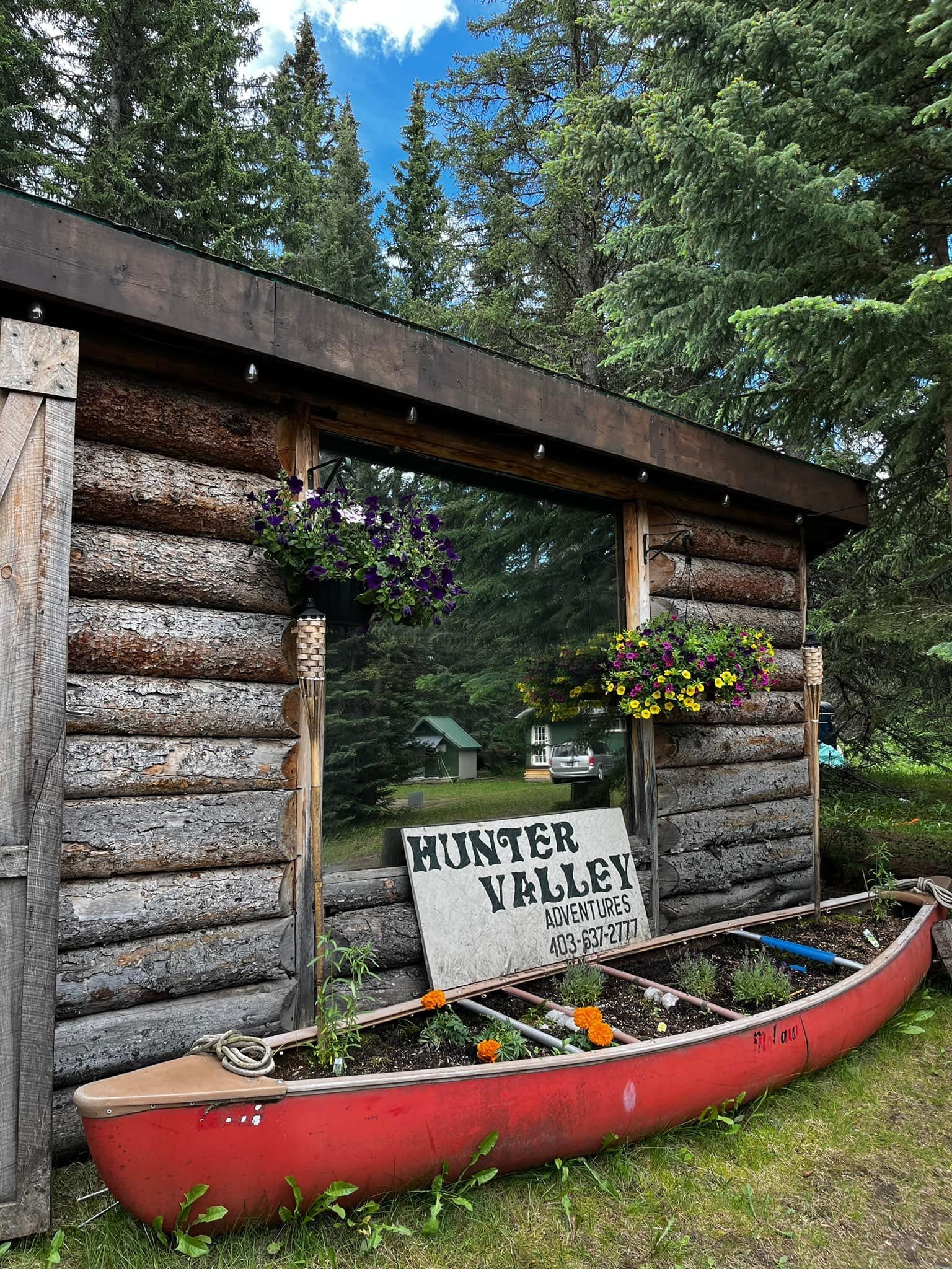
Arriving at Camp
Enter through the big green gate and follow the road 150 meters into camp.
You can park in the field up top and walk down with your things or drive directly into camp.
If You Miss the Turn
If you reach a second one-lane bridge, you have gone 1 km too far.
Turn around and look for the green gate on your left.
From MOUNTAIN AIRE LODGE
Head SOUTH on Hwy #40 Forestry Trunk Road for 12 km, then turn left on Stud Creek Road (sign reads “private road 50/km”).
After 5 km, you will reach the Burnt Timber Compressor Station—turn right.
After 4.5 km, cross a one-lane bridge over Burnt Timber Creek.
1 km after the bridge, look for the HVA Camp turn-off on the left.
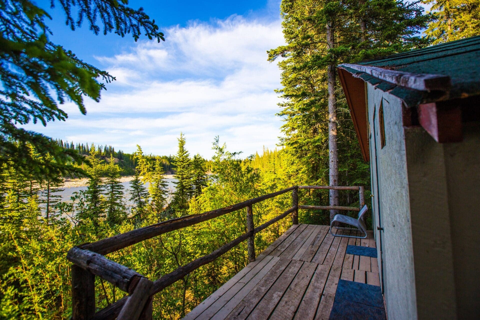
Find quick answers about our cabins and facilities – all in one place.